
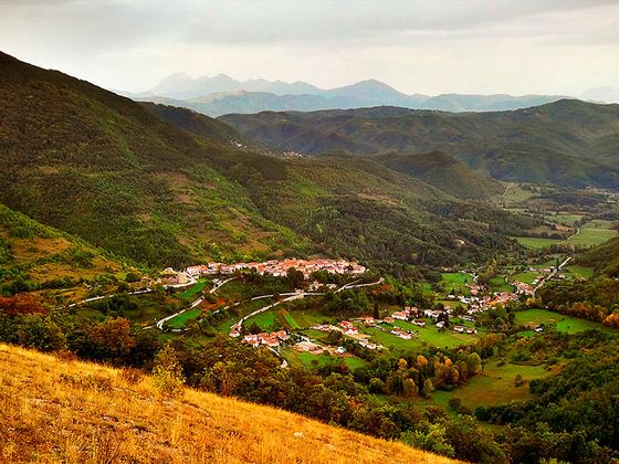
The lesser-visited side of the Parco Nazionale Gran Sasso e Monti della Laga, marked by magnificent beech woods and wild landscapes far from the climbing routes of Corno Grande. It offers solitary hikes away from the more celebrated destinations of the massif.
The Monti della Laga occupy the north-western sector of the Parco Nazionale Gran Sasso e Monti della Laga, extending for about thirty kilometres along an axis running from north-west to south-east, between the Tronto river and the Vomano river, across a territory that touches Abruzzo, Lazio and Marche. The range is geologically distinct from the limestone massif of Gran Sasso: here the rock is sandstone and flysch, materials that retain water, feed numerous streams and shape rounded slopes, covered with dense woodland up to high elevations. The peaks regularly exceed two thousand metres — Monte Gorzano reaches 2458 metres, Pizzo di Sevo 2419, Pizzo di Moscio 2411 — yet this sector of the park remains outside the most frequented routes, partly because of a less dramatic morphology compared to the vertical walls of Corno Grande, partly because of less developed hiking infrastructure.
Campotosto, at 1420 metres above sea level in the province of L'Aquila, is the natural reference point for those approaching the Laga from the southern side. The village of 458 inhabitants looks out over the artificial lake of the same name, the largest reservoir in the Abruzzo Apennines, created in the 1940s by damming the waters of the Vomano and other tributaries. The expanse of water that opens beneath the ridge on which the village stands offers an unusual perspective: a broad, still mirror surrounded by pastures and beech woods, with the ridges of the Laga closing the horizon to the north. The village's name likely derives from the Latin *campus tostus*, the burnt or frost-exposed field, a direct indication of the harshness of the climate here, where snow can linger for a long time and the cold makes itself felt even in late spring.
Beech woodland is the dominant plant element of the Laga. Unlike the limestone areas where forest thins out quickly, here the tree cover climbs the slopes unbroken, creating shaded, humid environments that host rich flora and discreet fauna. The trails that cross these beech woods lead toward the ridges with a gradual change in elevation, without the equipped passages that characterise the routes of Gran Sasso. Those who walk these paths rarely meet other hikers, even in the summer months. Human pressure is limited for structural reasons: the villages of the area are small and services are basic, which naturally selects the kind of visitor who comes here.
The Laga range also has a dense network of waterways, with waterfalls and streams that rise directly from the ridges. This abundance of water is a direct consequence of the impermeable geology, which does not absorb rainfall the way limestone would, but channels it to the surface instead. The resulting landscape is that of an Apennine mountain in its most intact form: woodland, water, high-altitude pasture, silences broken only by the wind or the call of some bird of prey. The national park guarantees the protection of this balance, but the true safeguard comes from geographic isolation and the relative obscurity of this side of the range.
Masso9870 · CC BY-SA 4.0 — Wikimedia Commons
Certified Made in Italy businesses close to this place.
Agriturismo Lu Ceppe
Cittareale (RI) · 18.8 km
Global Building Engineering
Teramo (TE) · 29.9 km
RISTORANTE PIZZERIA LA LANTERNA
Cascia (PG) · 31.2 km
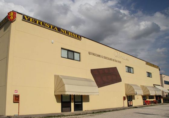
Cioccolateria Vetusta Nursia
Norcia (PG) · 33.1 km
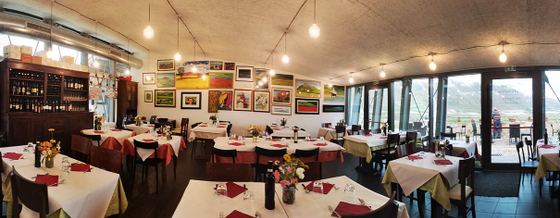
TAVERNA CASTELLUCCIO
Castelluccio (PG) · 33.6 km
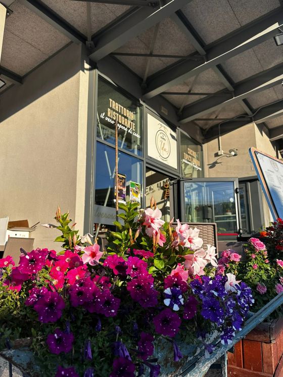
RISTORANTE DA MAMMA IDA
Castelluccio di Norcia (PG) · 33.6 km
