
Artificial lake set among the mountains of the Reatino area, with turquoise waters and wooded shores offering landscapes of rare calm, far from the busier tourist routes.
The Lago del Turano occupies a basin among the Monti Carseolani, in the Reatino area, some sixty kilometres from Rome. It is an artificial reservoir, created in the 1930s with the construction of a dam on the river Turano: a hydraulic work that transformed the morphology of the valley without erasing its character. Over time the shores have become covered with mixed woods of oak and hornbeam, the waters have taken on tones ranging from emerald green to deep blue depending on the hour and season, and the landscape has acquired a coherence that makes it difficult to distinguish human intervention from the natural configuration of the land.
On the shores of the lake stand two villages, Castel di Tora and Colle di Tora, both in the Reatino area, both clinging to the rock in positions that betray a defensive origin. Castel di Tora is the older of the two: the first documented mention dates to 1035, in the Chronicon Farfense (the medieval chronicle of the Abbey of Farfa), where it appears as Castrum Vetus de Ophiano. For centuries it remained under the control of the Abbey of Farfa, then passed to the Mareri family, was confiscated by Frederick II of Swabia in 1241 and returned to the family on the emperor's death in 1250. The present name was adopted in 1864, after the Unification of Italy, in memory of an ancient Sabine-Roman pagus called Thora or Thiora. The urban fabric still bears the imprint of the 11th century: narrow alleys, steep stairways, covered passages that once sheltered residents from the winter winds and, in more distant times, from the Saracen raids that had made it necessary to build watchtowers along the ridge.
Seen from below, from the level of the lake, the profile of Castel di Tora has something geometric and almost improbable about it: the houses stack upon the rocky spur without leaving empty spaces, and their reflection on the water doubles their verticality. It is a view that landscape photographers seek out in the early morning hours, when the low light sharpens the contrast between the grey stone of the walls and the green of the shores. The village is included in the list of Borghi più belli d'Italia (the Most Beautiful Villages of Italy) and stands at 607 metres above sea level.
The lake, with a surface area of around 6 square kilometres, remains one of the least frequented lakeside destinations in central Lazio. The network of paths running along the shores allows for excursions of varying length through the riparian vegetation, while the waters are traditionally frequented by anglers. The absence of large tourist infrastructure has preserved a slow pace, marked by the changing light on the mountains and by a silence that, at certain times of day, is broken only by the calls of waterfowl.
altotemi · CC BY-SA 2.0 — Wikimedia Commons
Certified Made in Italy businesses close to this place.
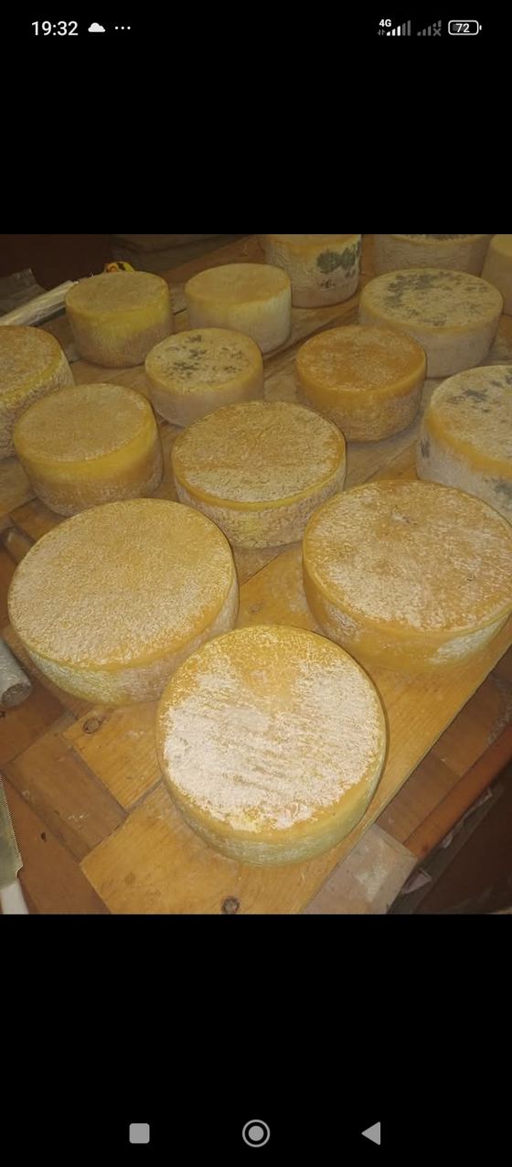
LE PRATA
Paganico Sabino (RI) · about 4 km
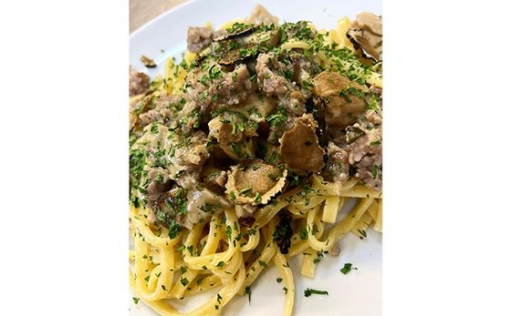
RISTOMACELLERIA IL VECCHIO CASALE DA LIBERATI DA 150 ANNI NEL SETTORE DELLE CARNI
Poggio Nativo (RI) · 14 km
RISTORANTE PIZZERIA DA TOTO'
Carsoli (AQ) · 16.6 km
AZIENDA AGRICOLA MORGANTE GABRIELLA
Pescorocchiano (RI) · 18.7 km
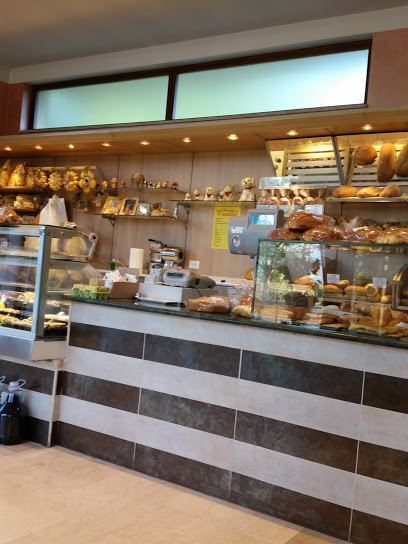
PANIFICIO SAN NICOLA
Rieti (RI) · 22.6 km
NUOVA PIZZERIA IL VIALE
Rieti (RI) · 23 km
