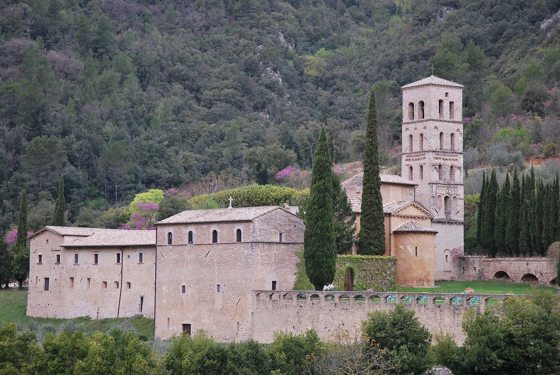
The course of the rivers Corno and Nera, between the Parco Nazionale dei Monti Sibillini and the Cascata delle Marmore, forms a natural corridor to explore on foot or by canoe, away from the more celebrated destinations.
The Valnerina is the corridor that the river Nera has carved into the central Apennines between Terni and Visso, in the most compact and least frequented Umbrian stretch of the ridge. The river runs for roughly eighty kilometres through narrow gorges, where the rock walls close in until the valley narrows to spaces that exclude any form of mass transit infrastructure. The Corno, its main tributary, flows down from the Monti Sibillini and joins the Nera, carrying cold waters and a current that shifts markedly with the seasons. This river system forms the Parco Fluviale del Nera (Nera River Park), a protected area that extends along the banks and includes stretches of riparian woodland, limestone outcrops and rapids alternating with calmer pools.
The area around Ferentillo, in the province of Terni, packs into a few square kilometres a variety of environments hard to find elsewhere in inland Umbria. The cliffs above the village — notably the walls of Precetto and Matterella — rank among the most frequented sport-climbing sites on limestone rock in Europe, with routes spanning a wide range of technical difficulty and rock that offers well-defined holds even in damp conditions. Ferentillo's standing in the climbing world is not built on local folklore: it is the result of decades of route-setting by Italian and foreign climbers who found here favourable conditions for much of the year.
The Nera, in the stretch between Ferentillo and the Cascata delle Marmore, can be paddled by canoe and kayak when water levels allow, and also offers sections suited to guided rafting. The current is not uniform: it alternates technical passages with more relaxed sections where the river slows and the vegetation along the banks grows denser. Those who walk the valley follow trails climbing toward villages perched on rocky spurs — Precetto, Matterella, Umbriano — some of them nearly uninhabited, with stone houses that retain their medieval structure without recent restoration. The Abbazia di San Pietro in Valle (Abbey of San Pietro in Valle), founded in the Lombard era and documented from the 8th century, stands along this axis and holds Romanesque frescoes and sculptural fragments of rare historical continuity.
The Pian Grande di Castelluccio, to the north, at 1,500 metres within the Parco Nazionale dei Monti Sibillini (Sibillini Mountains National Park), dominated by Monte Vettore and its 2,476 metres, forms the system's other pole. The Valnerina connects these two extremes — the high, windswept plain of the Sibillini and the damp gorge of the Nera — through a network of secondary roads and trails that rarely appear on standardised itineraries. It is this geographic continuity, more than any single feature, that defines the character of the place: an Apennine corridor where the human scale of the landscape has remained that of centuries past.
Valeria Casali · CC BY-SA 3.0 — Wikimedia Commons
Certified Made in Italy businesses close to this place.
RISTORANTE PIZZERIA ''LA LUNA PIENA''
Spoleto (PG) · 7.4 km
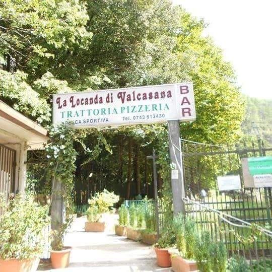
La Locanda di Valcasana
Scheggino (PG) · 8.2 km
VECCHIA OSTERIA
Piediluco (TR) · 9.7 km

Albergo Ristorante Ferretti
Spoleto (PG) · 12 km
PASTA ALL'UOVO
Terni (TR) · 12 km
Alfio Trattoria Ternana
Terni (TR) · 13 km
