
An alpine lake at around 2580 metres in the Champorcher Valley, a side valley off the Cogne Valley, reached in about two and a half hours on foot from Chardonney. The landscape is bare and mineral, with a small sanctuary on its shore.
The Champorcher Valley opens on the orographic right of the Dora Baltea just beyond the Forte di Bard, the first side valley encountered when entering Valle d'Aosta from the east. It is a branch that passing traffic tends to overlook, drawn instead toward the better-known destinations further west — Cogne, Valtournenche, Cervinia — leaving this side of the region in a quiet that is not neglect but simply distance from the main circuit. The Ayasse stream runs down a narrow valley floor, and the landscape grows steadily more austere with altitude, until rock takes over from meadow and the horizon narrows around the ridgelines.
The walk to Lago Miserin starts at Chardonney and takes roughly two and a half hours along a trail classified E, covering a little over seven kilometres. The climb passes partly through the Mont Avic Natural Park, a protected area safeguarding one of the least altered mountain environments in the entire western Alpine region. As the altitude increases, vegetation thins out and the ground takes on a different texture: less soil, more stone, colours shifting toward grey and ochre. At 2580 metres the lake appears within a rocky basin quite unlike the grassy expanses of the more frequented valleys. The landscape offers almost none of the familiar reference points — no pastures, no alpine huts, none of the conventional greenery associated with the mountains of Valle d'Aosta.
On the lake's shore stands the Santuario della Madonna delle Nevi (Sanctuary of Our Lady of the Snows), whose history dates back to 1658, the year of its first construction. The current building dates from 1881, rebuilt on the initiative of the parish priest Jean-Baptiste Danna and the abbé Pierre Chanoux. Beside it stands the Rifugio Miserin, a structure with origins traceable to the 17th century, when it served as a hospice for pilgrims headed to the sanctuary. The last significant restoration dates to 2000, and since 2010 the refuge has again been open with continuous management. The presence of these two buildings side by side — one religious, one for hospitality — in such an isolated spot says something about how densely this place was frequented over the centuries, when pilgrimage was an ordinary practice and altitude was not an obstacle but a direction.
The full route can also take in the Rifugio Dondena, once a hunting lodge of Vittorio Emanuele II, confirming that this stretch of the upper valley was frequented by the Savoy court in the second half of the nineteenth century. Royal hunting and popular pilgrimage have both left architectural traces at altitudes that today are reached almost exclusively on foot. Lago Miserin is not a mass destination, nor does it aspire to become one: the length of the route and the nature of the landscape naturally select who arrives here.
Francofranco56 · Public domain — Wikimedia Commons
Certified Made in Italy businesses close to this place.
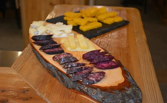
Trattoria Bar Salumificio Sonveulla
Cogne (AO) · 16.7 km
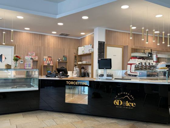
LA RIVIERA DEL DOLCE
Saint Vincent (AO) · 17.3 km

Onoranze Funebri Riva
Cuorgne' (TO) · 23.3 km

Ottica Invision di Roberta
Castellamonte (TO) · 26.8 km

VISO TOP
Banchette (TO) · 28.2 km
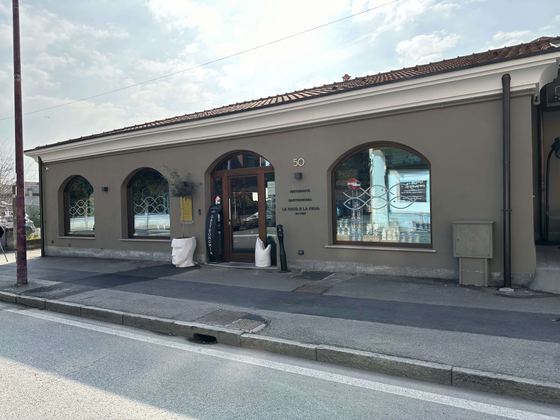
Ristorante La Rava E La Fava
Ivrea (TO) · 28.8 km
