Before you go on
This site uses only what it needs to work: the language you choose, access to the members' area, and anonymous counts that tell us whether the search is answering well. For advertising campaigns we ask your permission, and without a yes nothing starts. See the full list.

The town of Gravina stands on the edge of a natural canyon carved by the stream of the same name, its rock walls home to caves and rupestrian churches. The ravine's landscape is the true protagonist of this territory, quite apart from the place's cinematic fame.
The ravine that gives the town its name is a karst gorge cut dozens of metres deep, carved into the limestone of the Murgia by the stream that shares its name over the course of millennia. The result is a canyon that runs through the territory of Gravina in Puglia — a municipality in the metropolitan city of Bari, some 56 kilometres from the provincial capital and 30 from Matera — cutting the historic centre off from the surrounding countryside with a sharp, almost geometric edge. The flat, open Murgia plateau breaks off without warning: the rock walls drop steeply toward the bottom of the ravine, where the stream has left the mark of its millennia-long work.
That break in the landscape was never merely a matter of geology. The earliest human settlements in the area date back to the Palaeolithic, and by the Iron Age a substantial settlement already stood on the hill of Botromagno, near the present-day town. When later destruction — wrought by the Visigoths and Vandals in the 5th century AD — made the settlements on the plateau unsafe, people moved down into the ravine, adapting natural caves into dwellings and carving new ones out of the tufa. Out of that necessity grew what is known as the rupestrian civilisation, which left frescoed churches, domestic spaces and entire villages cut into the rock along the floor and walls of the ravine. The resulting continuity of settlement stretches, without significant interruption, from prehistory into the medieval period.
To walk the paths that descend along the canyon walls today is to move through that layered history directly. The rock-cut churches — among them the Chiesa del Padre Eterno (Church of the Eternal Father), also known as the *Deesis*, hollowed out of the rock face — still hold traces of frescoes and of a devotion that adapted itself to raw stone before ever turning to worked stone. The canyon floor, reachable on foot, offers a reversed perspective on the historic centre: from down there, one looks upward, toward the rim of the ravine where the town clusters, and the distance between the two levels — the level of urban life and that of the bare rock — becomes something the eye can measure.
The ravine's landscape works through contrast. On the surface, the Murgia Alta unfolds in the sober geometry of ploughed fields and pastures; then the ground gives way, and the void of the canyon fills the space with a physical presence that admits no mediation. That rupture in the earth has shaped the form of the town, the direction of its streets, the placement of its bridges — the best known of which, the Ponte Acquedotto (Aqueduct Bridge), links the two sides of the ravine with an arch that reaches nearly 37 metres in height. The relationship between the town and the gorge has never been one of simple proximity: over the centuries, it has been a form of mutual dependence.
Berthold Werner · CC BY-SA 3.0 — Wikimedia Commons
Certified Made in Italy businesses close to this place.
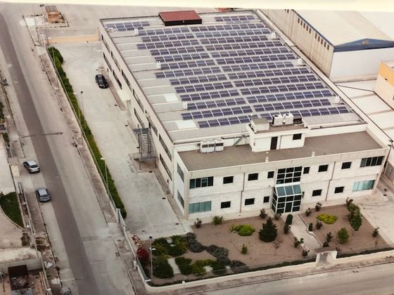
Form Design
Gravina in Puglia (BA) · 1.9 km

PIZZERIA SOEL
Altamura (BA) · 11.5 km

GUSTO D'ALTURA Ristorante
Altamura (BA) · 11.7 km
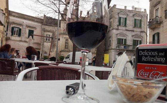
BAR PIZZERIA I DUE SASSI CAFE'
Matera (MT) · 23.3 km
BAR BISTROT
Santeramo in Colle (BA) · 28.3 km
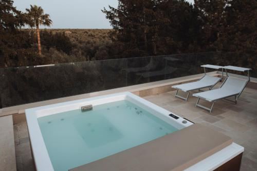
Villa Delle Querce Resort ****
Palo del Colle (BA) · 32.1 km