Before you go on
This site uses only what it needs to work: the language you choose, access to the members' area, and anonymous counts that tell us whether the search is answering well. For advertising campaigns we ask your permission, and without a yes nothing starts. See the full list.

A hiking route linking Palmi to Seminara along the slopes of Monte Sant'Elia, with modest changes in elevation and landscapes alternating between Mediterranean scrub and views of the Tyrrhenian Sea. An itinerary far less busy than Calabria's major trails.
The Tracciolino is not simply a trail. It is, first and foremost, a seventeenth-century hydraulic work: an irrigation channel cut along the slopes of Monte Sant'Elia to carry water down to the fields of the Piana di Gioia Tauro. The hiking route that today bears the same name largely follows that original course, moving between the towns of Palmi and Bagnara Calabra, in the province of Reggio Calabria, along the stretch of coastline known as Costa Viola. The path stays between 180 and 250 metres in altitude, with an ascent of around 70 metres: figures that say little about the quality of the landscape it crosses, and a great deal about how accessible it is.
The land the trail passes through belongs to the Mediterranean scrub in its densest and least tamed form: mastic, myrtle, strawberry tree, broom. In places the vegetation closes in around the path, then opens suddenly onto views of the Tyrrhenian Sea revealing an unusual depth of colour — the violet tone that gave the entire coast its name, a result of the particular shape of the seabed and the angle of light in the middle hours of the day. In the background, on clear days, Sicily can be made out, with Etna rising beyond the Strait of Messina.
The fact that the route follows a seventeenth-century water infrastructure adds a dimension that goes beyond a simple nature walk. To walk the Tracciolino is to follow a line laid down for practical reasons — the need to bring water where it was needed — that has come to coincide with one of the most striking vantage points along this stretch of Tyrrhenian Calabria. Over time, the engineering work and the landscape have merged until they became indistinguishable, and the present-day trail is the walkable synthesis of the two.
The relatively small number of people who walk it, compared with other Calabrian itineraries, has nothing to do with technical difficulty, which is modest, nor with the length of the route. It has more to do with the geographical position of this part of the coast, which remains on the margins of the more established hiking circuits despite lying close to Palmi — home to one of the richest ethnographic museums in southern Italy — and to Bagnara Calabra, known for swordfish fishing. The Tracciolino can be walked for much of the year, with the shoulder seasons offering light and temperatures particularly well suited to taking in the landscape.
Nikater · Public domain — Wikimedia Commons
Certified Made in Italy businesses close to this place.
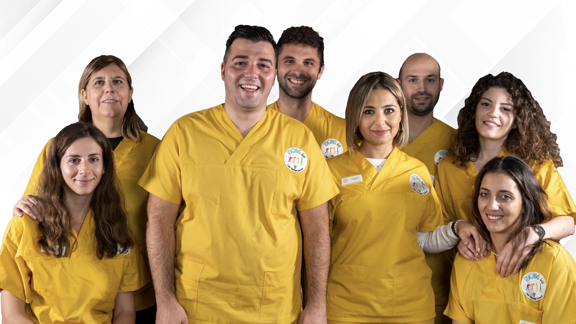
Fisioing Lab -Servizi Di Fisioterapia E Riabilitazione
Palmi (RC) · 0.4 km
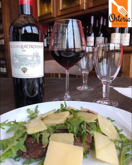
Osteria Di Via Bellini
Gioia Tauro (RC) · 8.4 km

Nyda Pizzeria
Taurianova (RC) · 14.4 km
BAR PASTICCERIA DI BULZOMI MATTEO
CINQUEFRONDI (RC) · 22.3 km
Il Siciliano
Messina (ME) · 31.3 km
Lascala Food dal 1980 Società Cooperativa
Filandari (VV) · 32.2 km