
Clinging to the Dolomiti Lucane at over 1,000 metres, Pietrapertosa offers a landscape of rocky pinnacles and woodland reminiscent of the Alps, though set firmly within the southern Apennines. It is one of the highest inhabited centres in Basilicata.
Pietrapertosa sits at 1,088 metres above sea level, in the heart of the Dolomiti Lucane, along the boundary between the provinces of Potenza and Matera. The name itself — open stone, perforated rock — describes the nature of the place with a precision no paraphrase could improve upon. The sandstone formations surrounding the village are the result of millions of years of differential erosion: water and wind have worked on layers of marine sediment lifted by the Apennine orogeny, carving spires, pinnacles and sheer walls whose profile recalls the Dolomite Alps, even though this is well within the southern Apennines. Here, geology is not a backdrop but the load-bearing structure of everything.
The medieval village unfolds along a main axis from which narrow alleys and blind passages branch off. The oldest part, known as Arabat — a place-name that preserves the memory of the Saracen presence in the area — leans directly against the rock, and in many places the boundary between natural wall and man-made wall is impossible to make out with the naked eye. For centuries, dwellings have been carved into and against the stone, following the logic of survival in a harsh territory, where every flat metre of ground was precious. Today the village has just under a thousand inhabitants, a figure that reflects a settlement that has stayed small not through recent abandonment but through the very shape of the ground that hosts it.
The landscape around Pietrapertosa lies within the Parco Regionale di Gallipoli Cognato e Piccole Dolomiti Lucane (Gallipoli Cognato and Piccole Dolomiti Lucane Regional Park), established to protect both the rock formations and the forest cover that accompanies them. The woods are made up mainly of downy oak and beech, with variations depending on exposure and altitude. The paths connecting Pietrapertosa to the nearby village of Castelmezzano cross this wooded system, dropping and climbing among the spires, with views opening onto the clay badlands of the valleys below — a landscape that shifts register quickly, moving from vertical rock to earth shaped by water into soft, continuous forms.
The relationship between the village and the surrounding territory is not limited to geology or vegetation. Pietrapertosa is part of a system of physical and perceptual connections with Castelmezzano, only a few kilometres away as the crow flies but separated by a terrain that turns every journey into a deliberate crossing of the landscape. The two communities share the same frame of rock and the same belonging to the regional park, while maintaining distinct identities. It is this tension between proximity and separation, between the stone that unifies and the slopes that divide, that defines the character of the place more precisely than any other description could.
Teodoro Corbo · CC BY-SA 4.0 — Wikimedia Commons
Certified Made in Italy businesses close to this place.
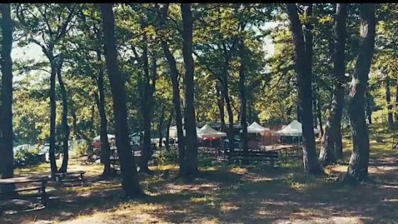
Parco Avventura Albano di Lucania
Albano di Lucania (PZ) · 13.4 km
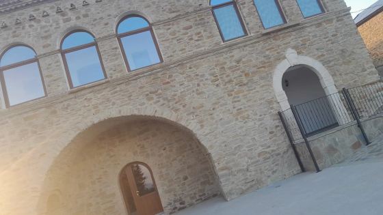
MASSERIA DEI ROSSI
Cirigliano (MT) · 16.6 km

Cargo Srl
Potenza (PZ) · 24.7 km
TARALLIFICIO FA.MA.
Tito (PZ) · 32.7 km
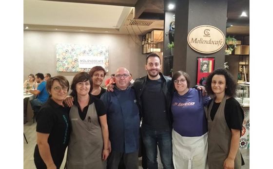
Ristorante Pizzeria Bar Moliendocafè Di Luglio Simona
Moliterno (PZ) · 34.5 km
